The pain had been spreading past my ear into my jaw bone. Ibuprofen wasn't even helping anymore, and I had to take a vicodin to help me sleep. You all know I hate taking pills, so it REALLY was hurting. It was keeping me from going anywhere. Patty is a trooper and played nurse. She wouldn't go anywhere without me.
The doctor diagnosed it as an bacterial external ear infection. We think that those 40 mph winds on Tuesday when we went to see the Japanese dock probably caused the problem. Anyway they cleaned the ear with an antibiotic cleanser and prescribed an antibiotic and steroid ear drop called CIpro HC OTIC. I'm on my second day of the drops and even though it still hurts, it is probably 50% better. Today we went out again, with cotton in my ear.
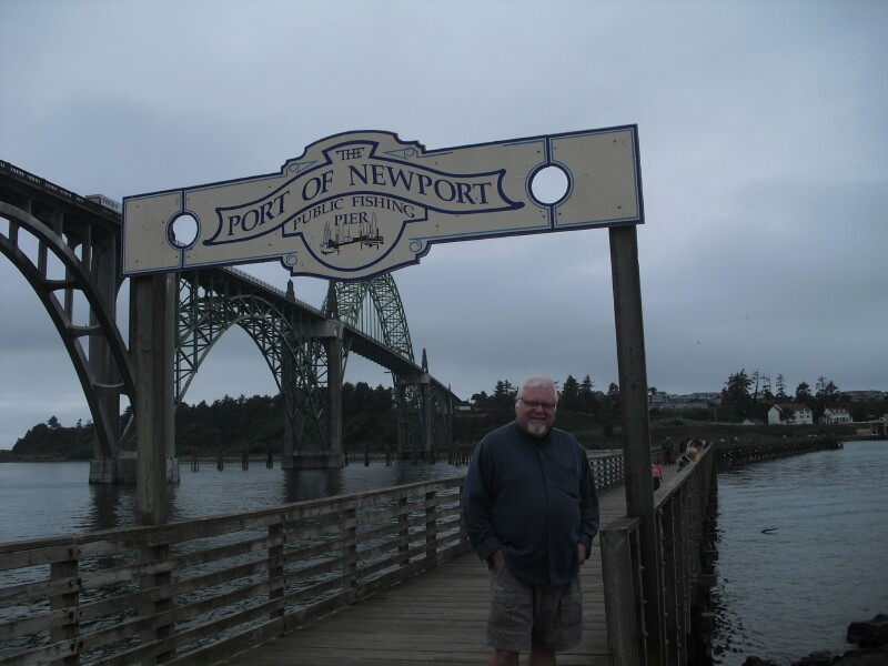
Today we went to Depoe Bay about 8 miles north of here. Depoe Bay's claim to fame is that is has the worlds smallest navigable harbor.
 |
| Depoe Bay Harbor |
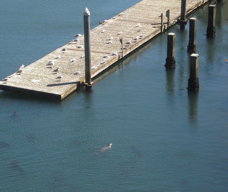 |
| Seal next to the dock |
 |
| Walkway under bridge |
 |
| Depoe Bay Channel |
 |
| Depoe Bay Bridge |
Depoe bay is heavy with shrimp. The whales hang around here to eat. They have a Whale Center where you can look for whales. They had seen one about 10 minutes before we arrived. The gray whales that we usually see in the Channel Islands have mostly passed already. These are most likely blue whales. We waited for awhile but did not see any.
Here is the main shopping area from across the street at the Whale Center. There is a sea wall the entire length of town.
 |
| Depoe Bay Town Center |
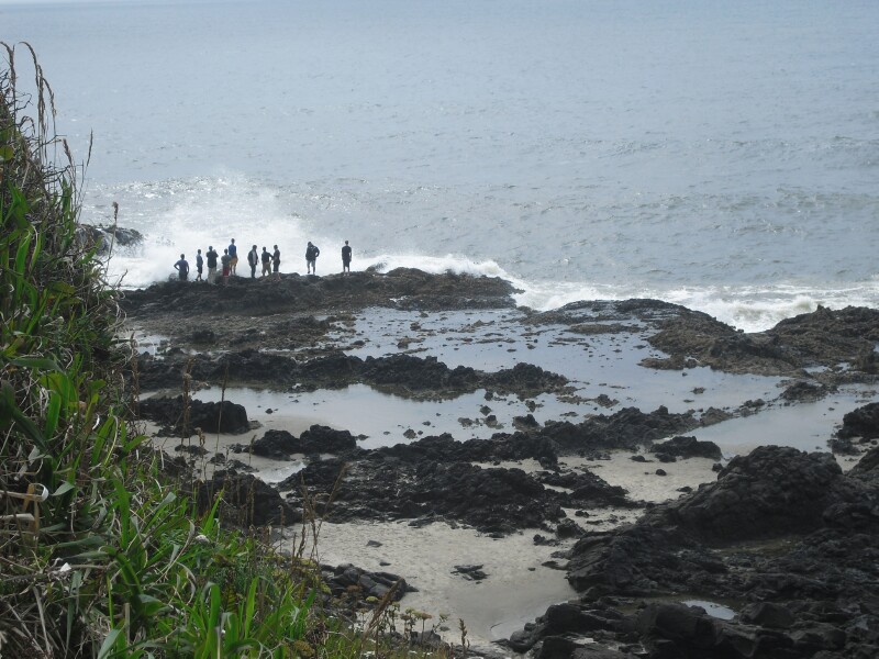
This is just offshore from the seawall. We just love views like this!
 |
| Rock at Depoe Bay |
We walked from one end of town along the shops and let Patty check them all out. We then crossed the street and walked back along the seawall.
 |
| Depoe Bay |
We didn't see any whales, but I had read somewhere online that there was a state park about 3 miles further north called Boiler Bay State Park that some whales might visit. We drove there, and what a GREAT decision!
There were two whales just offshore having their full of shrimp! One of them was no more then 100 yards from us. Whale watching boats showed up, but they couldn't get as close as us because of shallow bottoms. The ranger back at the Whale Center told us that whales prefer eating in shallow water because it is less work for them. In this picture you can see the whale spout and his back. When you consider that we are using a simple Casio digital camera you can see how close these huge animals were to us.
 |
| Whale spout |
We kept saying we were going to leave, but then they would re-surface. We could have stayed for an hour or more. We actually have at least a dozen pictures. Here he is diving so you can see his tail fin.
 |
| Dive, Dive! |
Seeing these whales really was a highlight of the day! Just think if I had stayed in again today! We have now seen bald eagles and blue whales in the wild. What an awesome God!
We read there was a road worth driving called Otter Crest Loop. It is about 3 miles and for much of it is one way only. We thought this traffic sign was unusual.
 |
| Otter Crest Loop Sign |
 |
| Otter Crest Loop |
 |
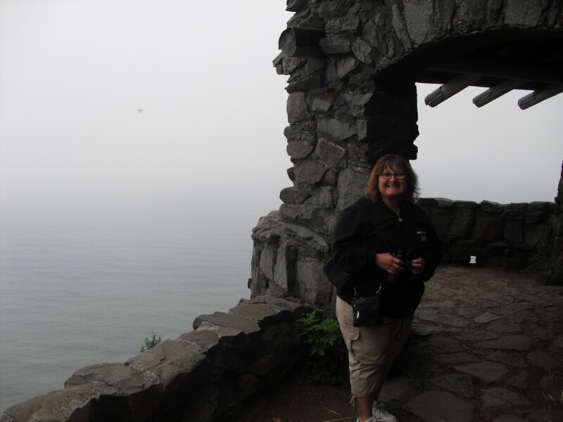
| Patty's House |
 |
| Patty's View |
 |
| Devil's Punchbowl sign |
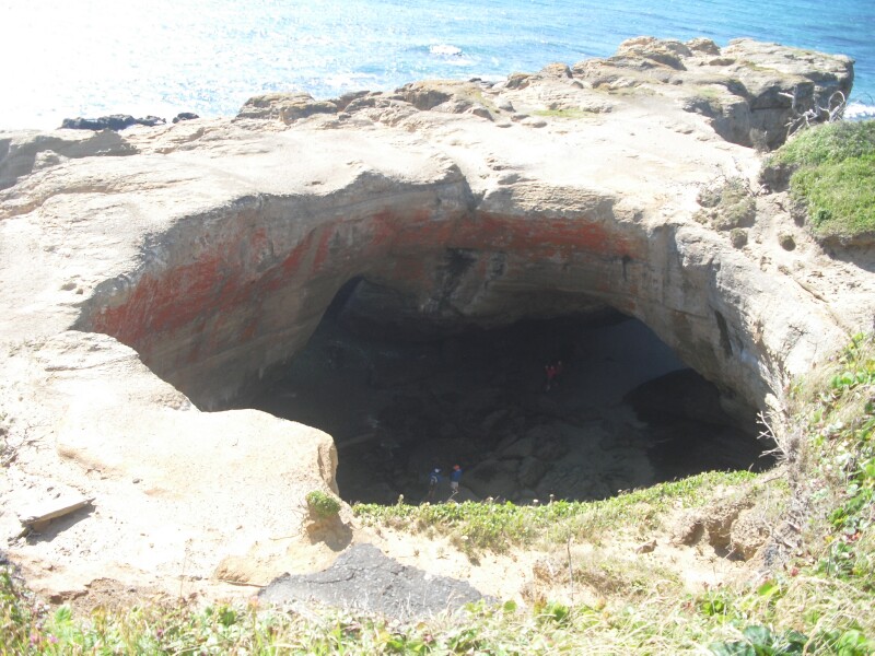 |
| Devil's Punchbowl |
Here is a picture I found online. It is what I expected when we got to the punchbowl.
 |
| Online Photo of the Punchbowl |
After the Punchbowl we went to Szabo's Steakhouse and Seafood for diner. They have a Tuesday night special that is a 16oz rib-eye steak diner for $11.99! Patty had a Salmon steak diner for $12.99. They were both very good. The place was packed at 5:30! It was setup for maximum persons, kind of like family dining. Square tables right next to each other. This place has a good thing going!
That's it for today,
Love you all!
Brian and Patty